Another Tornado Outbreak is Coming, Will East Texas Be Spared?
Here we go again.
Forecasters are telling residents from Texas to Florida to watch out for the next severe weather outbreak that will be rolling through those areas from Tuesday through Thursday. Needless to say, a number of folks across the Lone Star State are a little bit on edge after last week's round of severe weather.
What Can We Expect in Deep East Texas?
Winds. Ahead of the cold front that will be triggering the storms, we will have very gusty southerly winds. We have a Lake Wind Advisory in effect through 7 a.m. Wednesday morning. Those winds could gust to near 30 today (Tuesday) and to near 40 mph overnight.
We are not expecting many showers or storms to develop across the Pineywoods until after midnight tonight. Most of those are not expected to be too strong. However, right about the time the sun rises over the area, we could start seeing some of the stronger, and possibly severe storms in Deep East Texas.
What Kind of Severe Weather Could Happen Here?
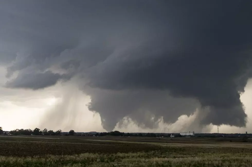
It's pretty much all on the table. Hail up to the size of half-dollars, winds gusting up to 70 mph in some of the storm squalls, and a few isolated tornadoes could occur. Rainfall totals are not expected to exceed over an inch with these fast-moving storms, so flooding isn't that much of a concern.

The Storm Prediction Center has the Lufkin/Nacogdoches vicinity targeted as being at a 'slight risk' for severe storms, especially between 6 a.m. and noon on Wednesday. That risk jumps to an 'enhanced risk' as you go across Toledo Bend Reservoir, and then to a 'moderate risk' deeper into Louisiana and then into Mississippi and Alabama.
In a Nutshell
Yes, we are probably going to get severe storms in the Pineywoods Wednesday morning between 6-noon. A tornado or two is still possible. However, the most dangerous outbreak of severe storms and strong tornadoes (EF2+) will be concentrated from central Louisiana to central Alabama.
Listen to KICKS 105 for updates and be sure to download our free KICKS 105 App to have weather alerts sent to your smartphone.

LOOK: The most expensive weather and climate disasters in recent decades
Gallery Credit: KATELYN LEBOFF
More From Classic Rock Q107


