Severe Storms, Heavy Rain in East Texas for Thanksgiving Week
It has been a dry autumn in East Texas. Polk, San Jacinto, and Walker Counties are all under burn bans. Angelina, Nacogdoches, and other area counties are not under burn bans...yet. But, it looks like some big time relief is on the way.
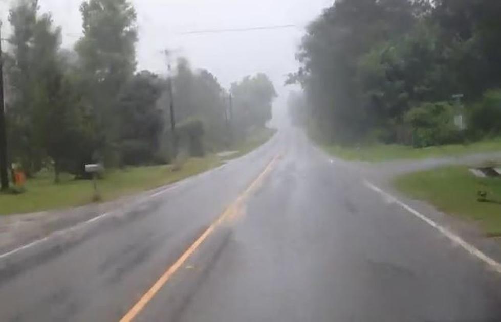
A cool front late Tuesday will bring the possibility of severe storms that could drop up to an inch of rain in some areas of the Pineywoods. However, it's a series of downpours on Friday and Saturday that should give us the most rainfall we've had in months.
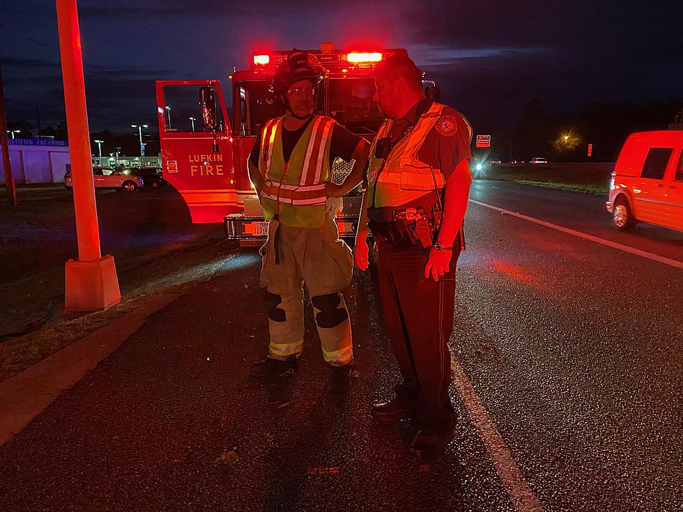
Regarding the severe storm possibilities Tuesday night, the National Weather Service is expecting a few severe storms to pop up in the Deep East Texas area. Lufkin, Nacogdoches, and areas to the north and northeast will have a better chance of seeing severe weather as opposed to areas to the south. Some of the storms may bring quarter-sized hail, straight-line winds gusting to 70 mph, and there is a low possibility of an isolated tornado popping up.
The storm system that will be affecting our area on Friday and Saturday could be a huge rainfall event. Some of the forecast models show up to 7 inches of rain could fall in parts of East Texas. As of this writing, the Storm Prediction Center is not expecting severe weather from these storms. We need the rain, but unfortunately, the timing of these storms could wreak havoc with some of the high school football games such as the big playoff game in Nacogdoches featuring Timpson and Garrison.
As always, we will give breaking weather alerts on the air and will send them to your smartphone through our KICKS 105 App.

KEEP READING: These Major Retailers Will Be Closed on Thanksgiving 2020
More From Classic Rock Q107