What is the Worst Case Scenario for Houston, East Texas Concerning Hurricane Harvey
Hurricane Harvey is expected to make landfall as a major hurricane (winds over 111 mph) Saturday morning somewhere near Aransas Pass. Most computer prediction models agree on that, however, after landfall, those models differ greatly on the future track of this dangerous storm.
Every 3-6 hours, Levi Cowan with tropicaltidbits.com posts a composite map showing the latest tracks of various computer simulations. Those forecast tracks have been changing greatly with every issuance, showing the difficulty that meteorologists are having in pinpointing exactly where Harvey where ultimately travel. The most recent future tracking map show some major concerns for Houston and East Texas.
Quite a few of the simulated tracks show Harvey coming ashore on Saturday, but then looping back out to the Gulf of Mexico on Monday or Tuesday. Then, Harvey could make a second landfall just southwest of Houston and then travel north northeast straight to the Pineywoods.
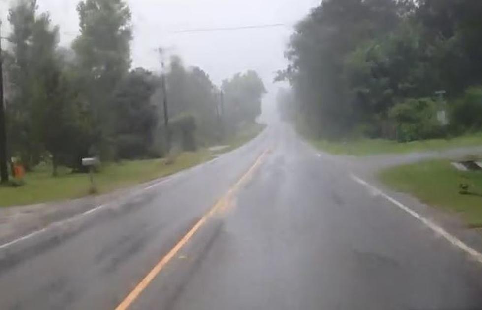
If this general track happens, what does that mean for the swath of Texas from Houston to Deep East Texas. First and foremost, copious amounts of rain. The 15-20 inches of rain that is already expected to fall near Houston could go to upwards of 30 inches cumulative from this storm. For East Texas, 10-15 inches of rain wouldn't be out of the question as the center of the storm could travel over us by mid-week next week. Some native Texans may remember the remnants of Tropical Storm Allison in 2001 which dumped up to 40 inches of rain in the greater Houston area after it stalled over southeast Texas.
What about wind damage to Houston and East Texas in a worst case double landfall scenario?
The Houston metro area will definitely experience tropical storm force winds (up to 74 mph) with the first landfall of Harvey. East Texans may experience a few rain squalls with occasional gusts topping 40 mph, but don't expect the wind damage we had with Rita and Ike a few years ago. However, if Harvey travels back over the warm waters of the Gulf after making its first landfall, some regeneration could occur. Certainly, if Harvey loops back out to the ocean, it will be a minimal tropical storm by then, but how much strength the storm regains would depend on its duration over the warm Gulf waters, and right now, that is a hard calculation to make.
For right now, the best advice is to monitor the weather situation and if you live in a flood prone area, be prepared to evacuate. Also, with the number of evacuees that will be traveling inland from coastal Texas cities, avoid unnecessary travel on major highways and make sure your vehicles are gassed up and that you are stocked up on groceries. The influx of possible evacuees could strain gas and grocery supplies. Plus, this storm will spend quite a bit of time over refineries and oil platforms, meaning the supply of oil and gas will be cut short for a while.
Stay safe, hunker down, and keep track of this weather situation with KICKS 105.
More From Classic Rock Q107