A Double Dose of Severe Weather For East Texas To Close Out 2020
We could be in for two separate doses of severe weather before we bring in the new year. That would seem the only appropriate way to close out this crazy year of 2020.
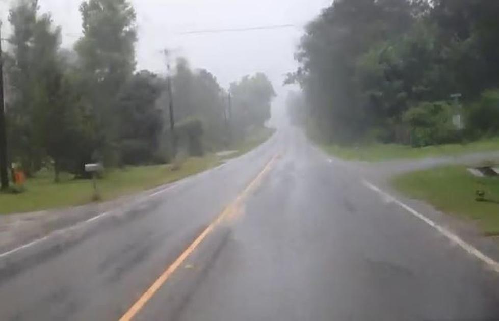
A strong cold front will be pushing across the lone star state this week and bringing with it heavy rains, severe weather, and even a lot of snowfall from near Abilene to the Big Bend of the state. In Deep East Texas, it's flooding and severe storms that will keep us on our toes Wednesday and Thursday.
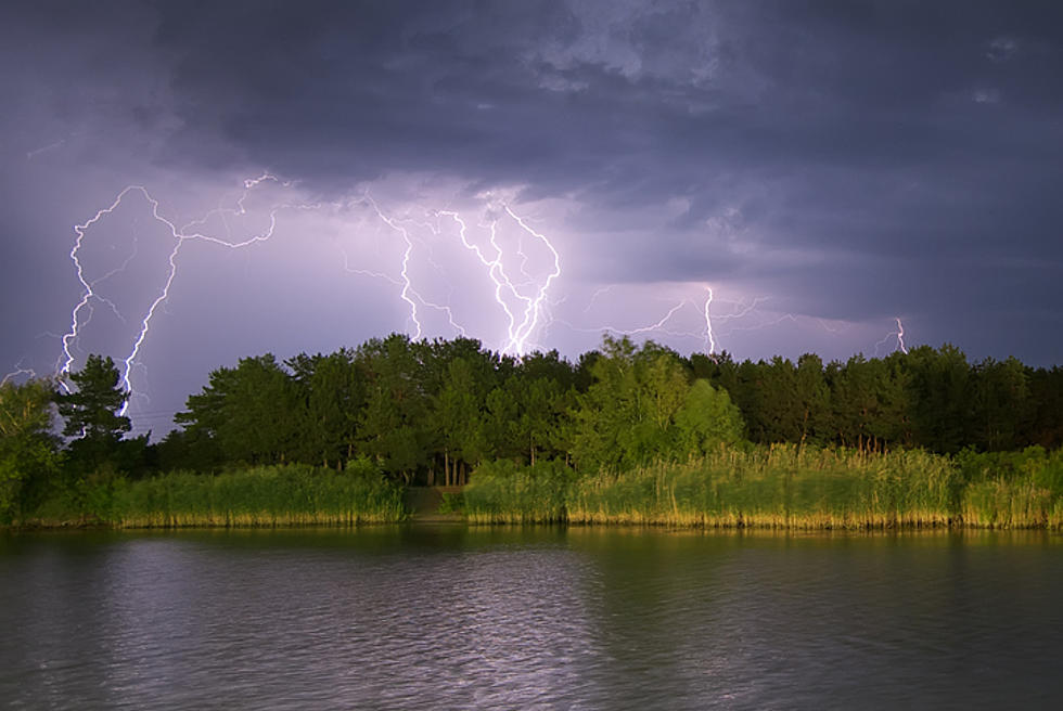
The National Weather Service is forecasting that we should start seeing the first round of strong storms on Wednesday between lunch and 5 p.m. Some of those storms could reach severe limits and bring damaging winds, hail, and an isolated tornado is in play as well.
The threat for severe weather should end by Wednesday evening, but we could still be in store for heavy downpours throughout the night. Then, another round of severe weather could pop off Thursday afternoon into Thursday evening on New Year's Eve. Once again, gusty winds, hail, and a tornado are all possibilities. Localized flooding could also occur as anywhere from an inch to 6 inches of rain could fall in parts of East and Northeast Texas.
There is the chance of a few snowflakes falling north of Tyler and Longview, but none of the wintry precipitation is expected to make its way into the Pineywoods. It will get colder for the new year, as the high on New Year's Day will only get up to the mid-50s, but it should be sunny.

Make sure you download the KICKS 105 app to get weather alerts sent to your smart device.
LOOK: 20 tips to help your houseplants survive the winter
More From Classic Rock Q107